Maps
Elevation Levels
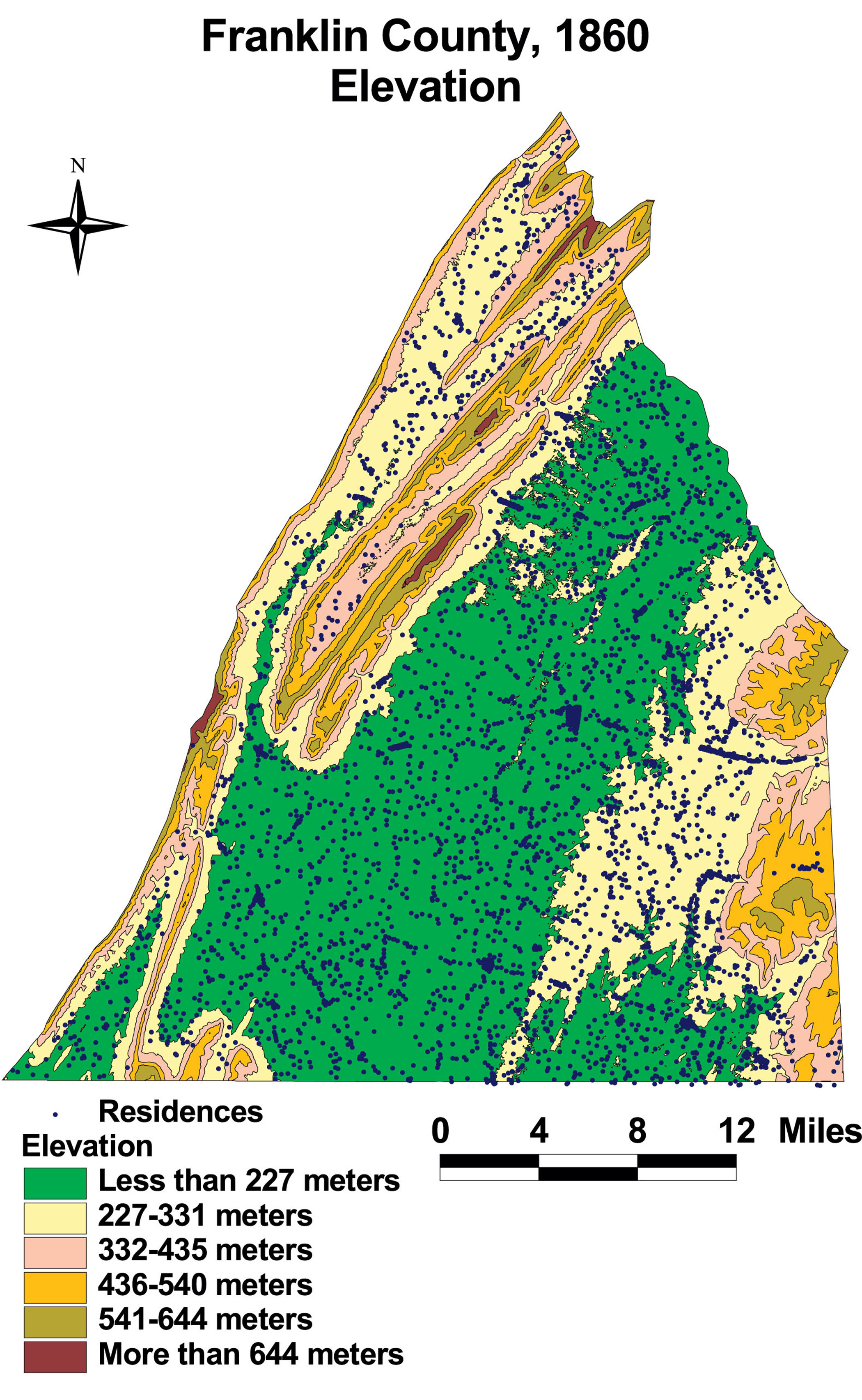
This map of Franklin County shows the elevation of the county. Residents occupied dwellings at nearly every elevation.
The map is based on GIS data and soil type data derived from a 1978 U.S. Geological Survey soil map. The map is derived from a D.H. Davison map of Franklin County, published in 1858. The Davison map has been georeferenced at the Virginia Center for Digital History, using ESRI Arc Info to produce a Geographic Information Systems map and database of households.