Maps
Churches and Voting Precincts, 1860
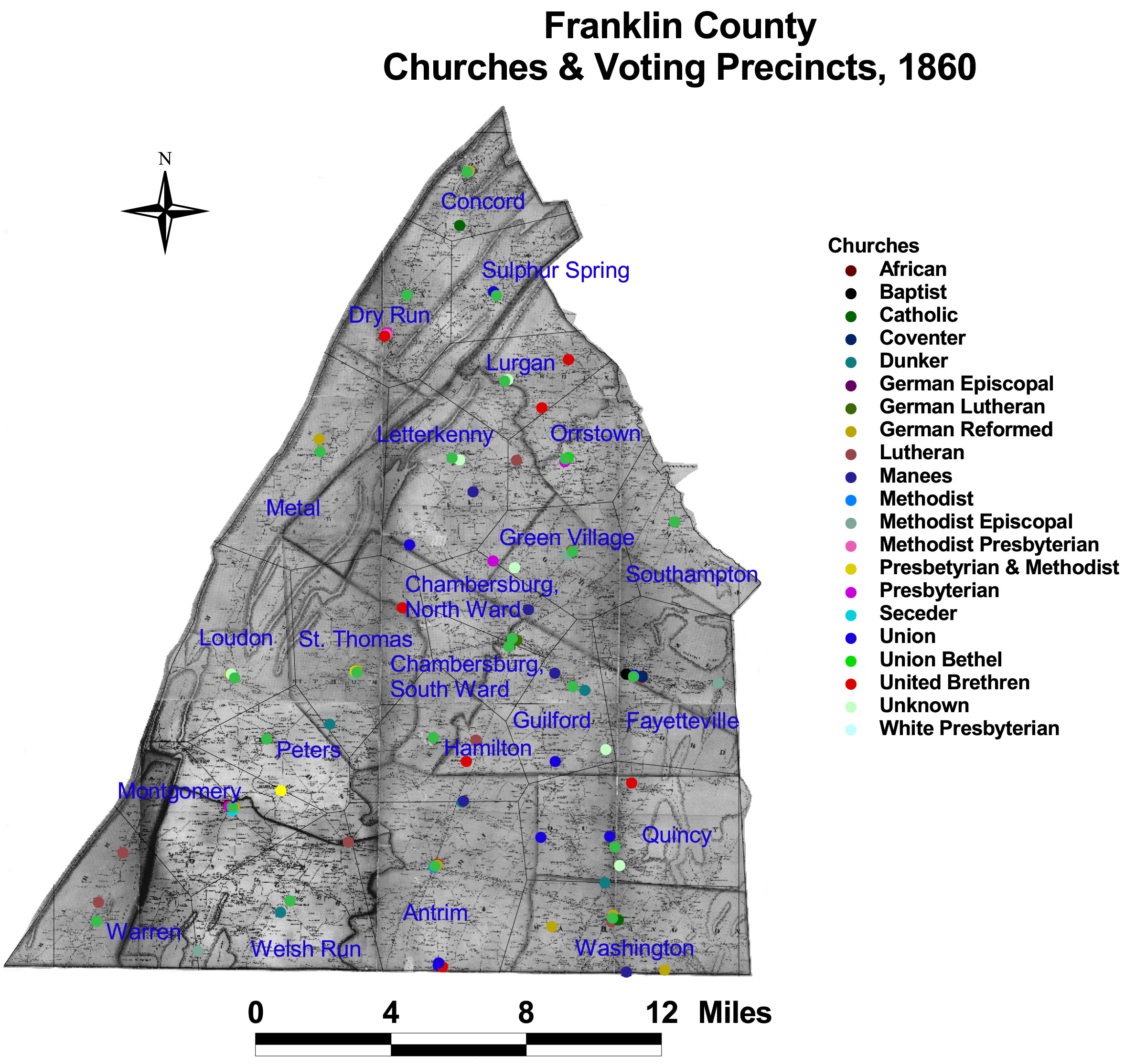
Precincts in Franklin County contained numerous denominations and churches.
The map is based on GIS data and soil type data derived from a 1978 U.S. Geological Survey soil map. The map is derived from a D.H. Davison map of Franklin County, published in 1858. The Davison map has been georeferenced at the Virginia Center for Digital History, using ESRI Arc Info to produce a Geographic Information Systems map and database of households.
Note: Original precinct boundaries are not available. Precinct boundaries were established in the GIS using Thiessen polygons around precinct stations as central places.