Skip to content
Valley of the Shadow
  • Eve of War
  • War Years
  • Aftermath
  • Search

Image Gallery

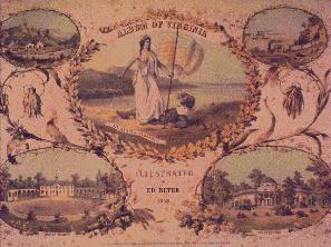
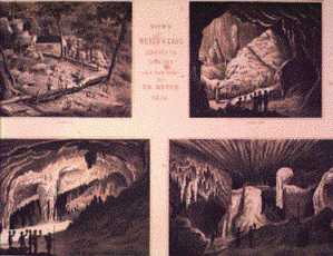
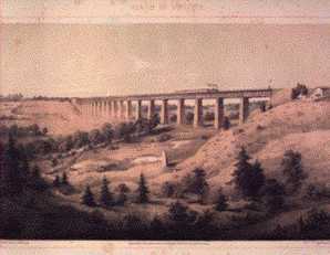
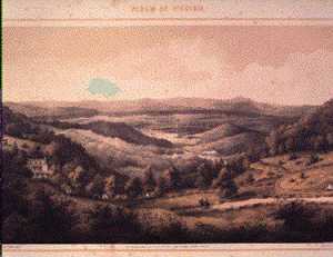
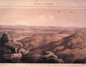
The Album of Virginia

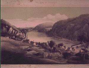
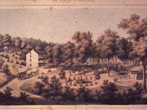
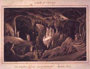
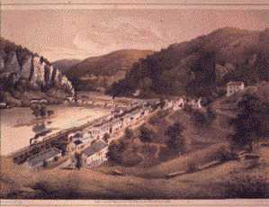
These are a selection of plates from Edward Beyer’s 1858 Album of Virginia: Illustrations of the Old Dominion.

/img/counties/gallery-images/the-album-of-virginia/titlepg.small.jpg

Title Page

/img/counties/gallery-images/the-album-of-virginia/harperfy.small.jpg

Harpers Ferry from Jefferson Rock

/img/counties/gallery-images/the-album-of-virginia/striblng.small.jpg

Stribling Springs, Central Railroad, Augusta County

/img/counties/gallery-images/the-album-of-virginia/weyerscv.small.jpg

Weyers Cave, Central Railroad, Augusta County

/img/counties/gallery-images/the-album-of-virginia/weyers22.small.jpg

View of Weyers Cave

/img/counties/gallery-images/the-album-of-virginia/hibridge.small.jpg

The High Bridge Near Farmville

/img/counties/gallery-images/the-album-of-virginia/brockfish.small.jpg

Rockfish Gap and the Mountain House, Central Railroad, Augusta County

/img/counties/gallery-images/the-album-of-virginia/pksotter.small.jpg

View from the Peaks of Otter, Bedford County, Virginia

/img/counties/gallery-images/the-album-of-virginia/armoryhf.small.jpg

The US Armory in Harpers Ferry

  • Original Edition at UVA Library
  • Timelines
  • The Two Counties
  • Sources
  • About
  • Site Map